


Astrum Horizons
From orbit to the ground, in one clear line of sight.
We build tools that help satellite operators and installers get every terminal pointed right the first time.
What we do
Software for the space-to-ground link.
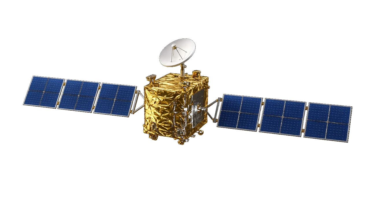
Astrum Horizons develops practical field software for the people who connect sites to satellites. We turn orbital data, terrain and on-site measurements into answers an installer can act on.
The problem
The right look angle, before the truck rolls.
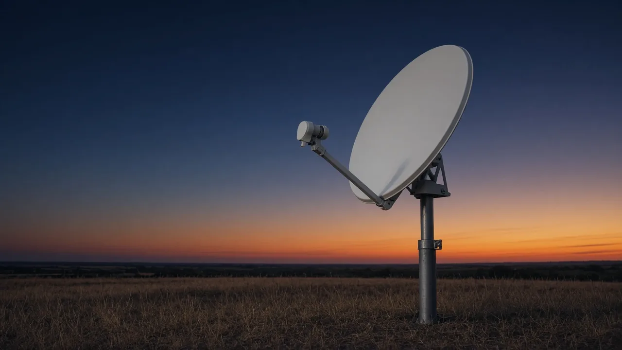
A blocked line of sight means a wasted trip. Trees, buildings and terrain sit between a dish and its satellite, and finding that out on install day costs time and money. We help teams confirm azimuth, elevation and obstructions up front, capture accurate site data fast, and cut repeat site visits.
Our product
Astrum Survey
A mobile site-survey app for iOS and Android. Point your phone at the sky to see the satellite arc over the real horizon, check line of sight, record photos and measurements, and produce a clean survey report your team can trust.
Visit astrumsurvey.com →